GPS technology explained
GPS technology explained
The origins of GPS technology
GPS technology has its origins in the Cold War when the United States used six GPS satellites to track its submarines in the 1960’s.
By 1993, the GPS radio navigation system was operating globally with 24 satellites serving the US military.
Following the Soviet shootdown of South Korean Airlines Flight 007, which veered into Russian airspace in 1983, US President Ronald Reagan opened up the Global Positioning System to everyone, everywhere on Earth.
How GPS technology works
The United States Space Force (USSF) provides GPS location data to four billion worldwide users. The system is paid for by US taxpayers at an operating cost of around USD $1.42bn per year.
The GPS satellites only transmit navigation signals that do not contain any mapping data. All the mapping data comes from the Ehubo2 device. GPS satellites broadcast radio signals giving their precise location and time based on their on-board atomic clocks. The Ehubo2 contains a passive radio receiver that notes the exact time it receives the satellite signals and calculates its distance from each satellite it can see.
Once Ehubo2 knows its distance from at least four orbiting satellites, it uses geometry to calculate its three dimensional location on Earth. With the Ehubo2, GPS location data is accurate within a 4.9 metre radius under an open sky clear from obstructions. Buildings, bridges, trees and atmospheric conditions can interfere with GPS satellite signals and deteriorate accuracy. Highly advanced commercial and military application using GPS boosters, dual-frequency and augmented receivers can enable real-time positioning within a few centimetres with precision that exceeds US military capability.
How GPS technology works
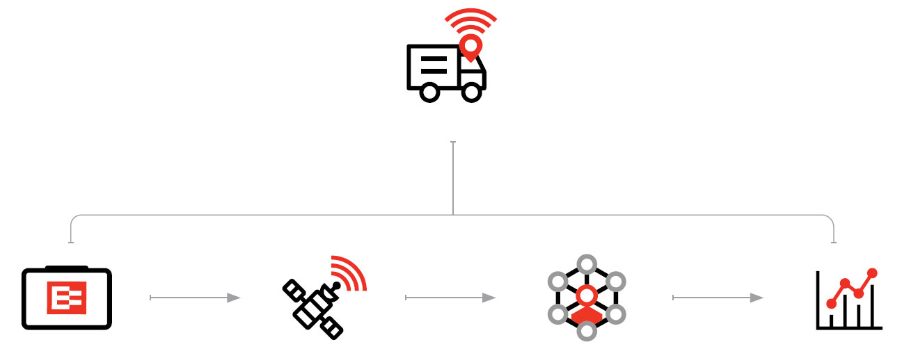
Ehubo2 uses the satellite signals and its internal mapping data to determine its position on Earth and sends that information encoded over the cellular network to EROAD’s cloud-based system called Depot.
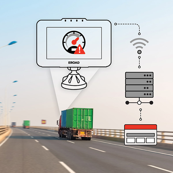
Ehubo2 is always online and collecting data but only transmits its location every 250 metres or when the vehicle is turned. It will also transmit information when significant events are triggered including speeding, harsh braking, sharp acceleration, sharp cornering and excessive idling.
What you need to know
A vehicle’s GPS location is being transmitted to fleet management whenever Ehubo2 is operating in “work” mode. This information includes speed and is used to allow fleet managers to track the performance and work-flow of the fleet. GPS tracking is disabled when operating in “private” mode.
What is Telematics?
Telematics is the entire technology system that gathers GPS data along with a wide range of other data about an individual vehicle or an entire fleet. The information from this data provides powerful insights into ways to improve business performance and increase profitability.
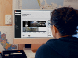
EROAD’S fleet management platform called Depot is a Telematics system that uses telecommunications and information technology to gather a wide range of data about a company’s operations. This data can be used in a variety of ways including health and safety compliance, route planning, driver feedback, fuel conservation, vehicle maintenance and RUC savings, all of which can boost productivity and profitability.
Login
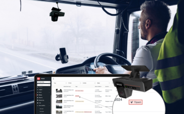
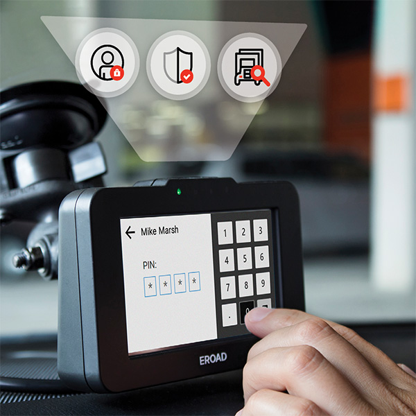
EROAD’s Telematics system only requires one piece of hardware in the vehicle. The Ehubo2 is a single device where drivers can simply log in on the touchscreen and get on with their driving day.
The login requires the driver’s unique PIN that identifies the driver, incentivises good driving and provides insights into a driver’s performance.
In Summary
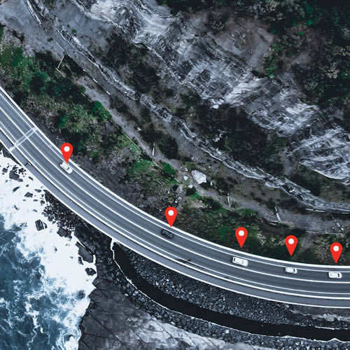
GPS vehicle tracking has revolutionised the way transport fleets are managed and has become a global gold standard in increasing the visibility of vehicles. It uses satellites to map out where vehicles are in near-real time to provide valuable information for the Telematics system. EROAD’s Telematics system called Depot optimises the visibility of a fleet, ensures driver safety, improves job management and boosts profitability.
Let EROAD provide you with the ability to manage the overall health, safety, compliance, profitability and productivity of your entire fleet.